Skip to content
About
Jobs
Login
Bear's Books
Equip
Explore
Empower
Articles
Culture
Experts
Features
How To
News
Opinion
Reviews
Travel
Videos
Activities
Action Sports
Biking
Camping
Climbing
Hiking
Running
Water Sports
Winter Sports
Subjects
Adventure
Food
Gear
Health
International
National Parks
Science
Survival
Wildlife
Shop
Equip
Explore
Empower
About
Shop
Jobs
Login
Bear's Books
×
Video
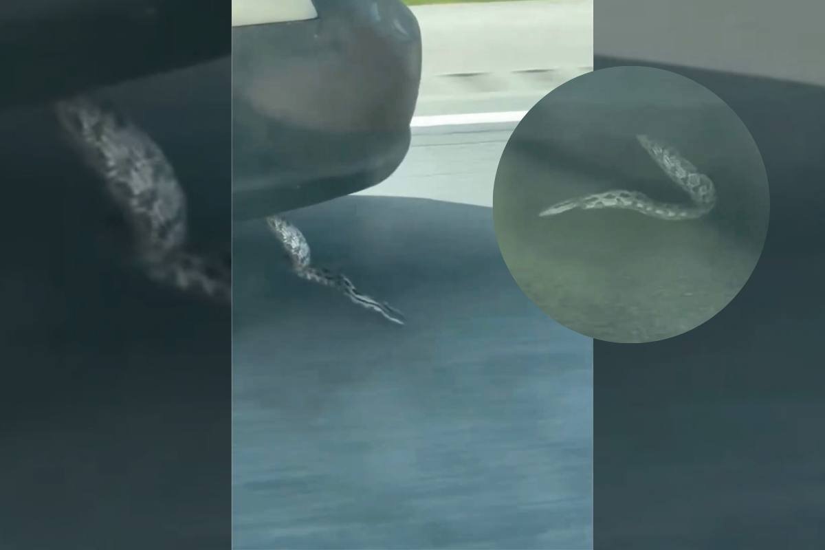
WATCH: HISS-terical ‘Passenger’ Wants This Driver to Pull Over
Wildlife
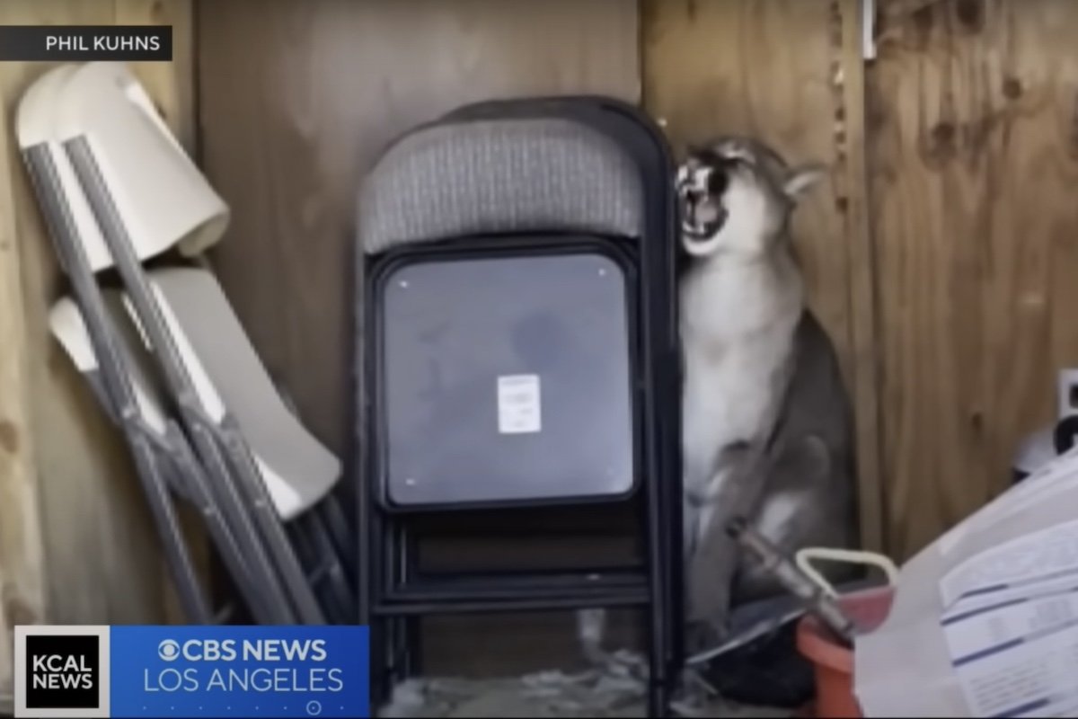
Mountain Lion Sleeps in Backyard Shed After Eating a Pet Turkey
Hiking
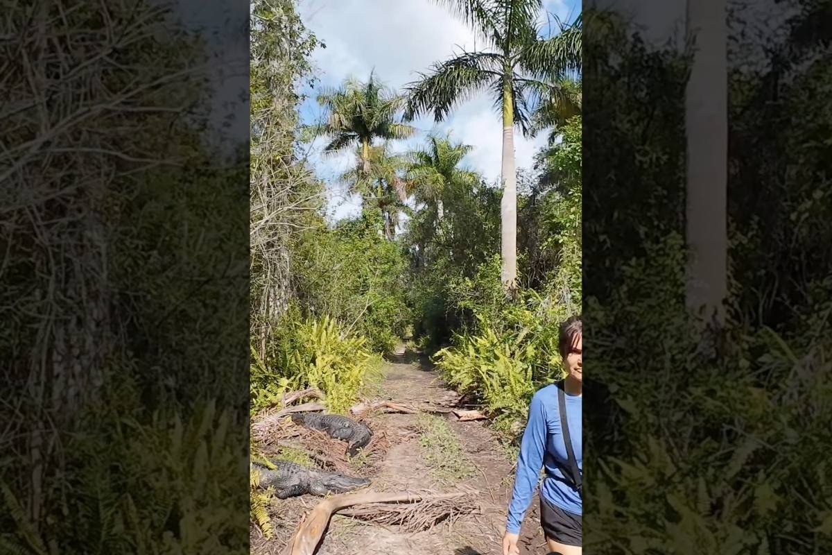
WATCH: Everglades Hikers Pass a Dozen Alligators Like It’s Normal
Equip
Water Sports
6 Best Kayaks for Fishing
Gear
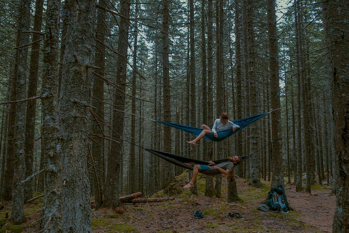
6 Best Camping Hammocks
Gear
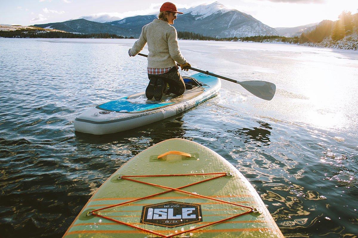
6 Best Inflatable Stand-Up Paddle Boards
More Equip
Explore
Science
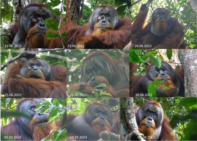
Wild Orangutan Used Medicinal Plant to Heal Its Own Wound
National Parks
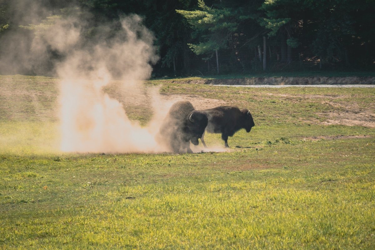
Drunk Man Arrested After Kicking Bison at Yellowstone
Hiking
WATCH: Everglades Hikers Pass a Dozen Alligators Like It’s Normal
More Explore
Empower
Conservation
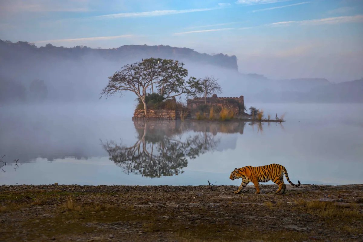
Gorgeous Tiger Photos Show These Big Cats in a New Light
Conservation
Check Out Progress on the Nation’s Largest Wildlife Crossing
Action Sports
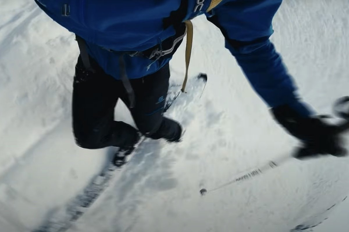
Extreme ‘Steep Skiing’ Is Bananas
More Empower
Video
WATCH: HISS-terical ‘Passenger’ Wants This Driver to Pull Over
Wildlife
Mountain Lion Sleeps in Backyard Shed After Eating a Pet Turkey
Hiking
WATCH: Everglades Hikers Pass a Dozen Alligators Like It’s Normal
Equip
Water Sports
6 Best Kayaks for Fishing
Gear
6 Best Camping Hammocks
Gear
6 Best Inflatable Stand-Up Paddle Boards
More Equip
Explore
Science
Wild Orangutan Used Medicinal Plant to Heal Its Own Wound
National Parks
Drunk Man Arrested After Kicking Bison at Yellowstone
Hiking
WATCH: Everglades Hikers Pass a Dozen Alligators Like It’s Normal
More Explore
Empower
Conservation
Gorgeous Tiger Photos Show These Big Cats in a New Light
Conservation
Check Out Progress on the Nation’s Largest Wildlife Crossing
Action Sports
Extreme ‘Steep Skiing’ Is Bananas
More Empower
More Stories
Scroll to Top